October 29, 2015
The newest weekly Pacific sea surface temperatures have been posted. It is only a tenth of a degree increase, but a weekly anomaly of +2.5 for the week of October 21, 2015 means we continue to trail 1997 by the smallest amount. Another warm week also means October has been a warm month, when October’s monthly temperature average is included into the ONI, it will increase. Our event continues to grow stronger.
07OCT2015 29.1 2.4 08OCT1997 29.2 2.6
14OCT2015 29.1 2.4 15OCT1997 29.2 2.5
21OCT2015 29.2 2.5 22OCT1997 29.3 2.6
In the wake of Patricia and Olaf, much of the tropical world is quiet. No disturbances in the Pacific or the Atlantic, unusually quiet for the record season we have just experienced. Just one lonely tropical disturbance in the unlikely location of the Arabian Sea.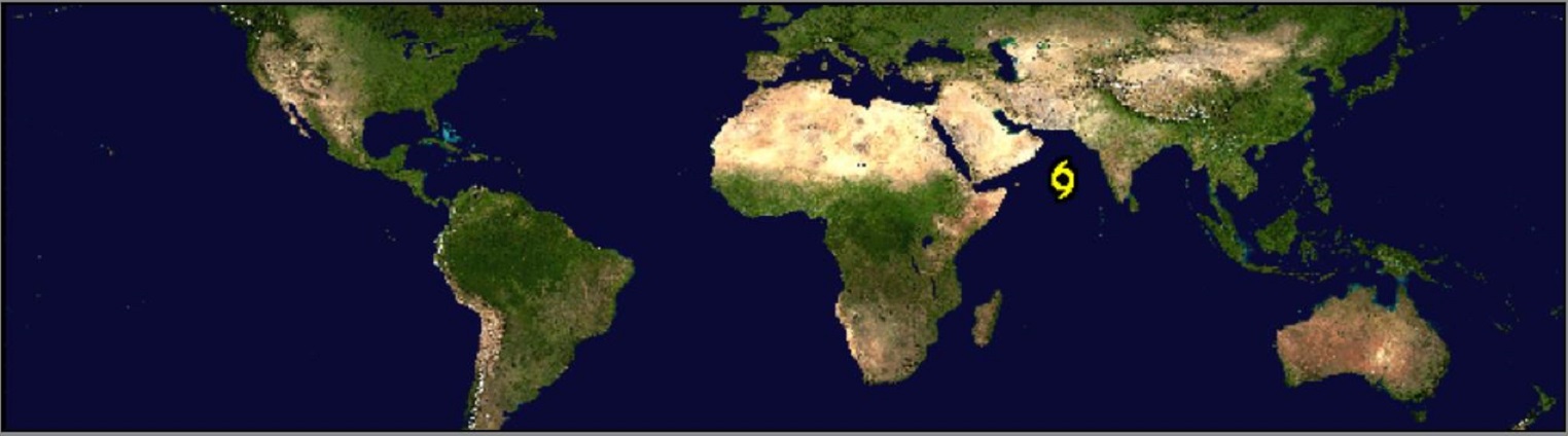
A tropical storm forecast to become a Category 3 hurricane and then move into Yemen on the Saudi Arabian Peninsula.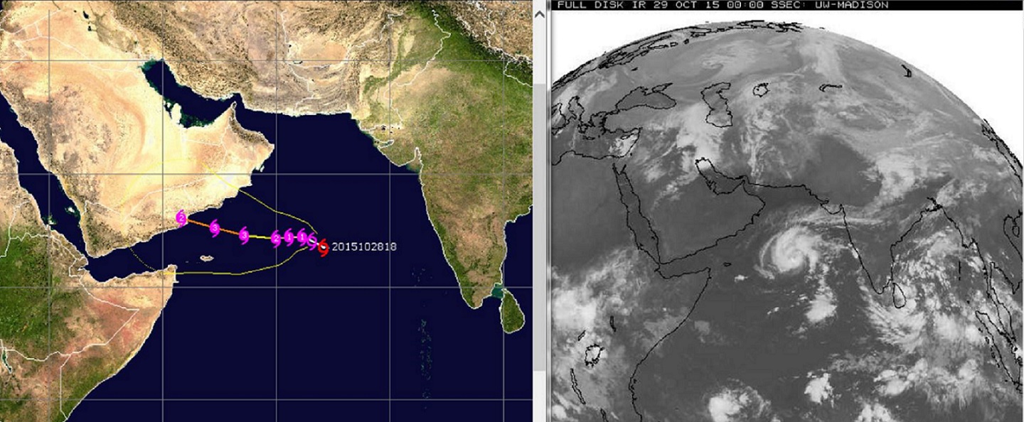 Water temperatures in Arabian Sea and the Indian Ocean remain above normal despite El Niño .
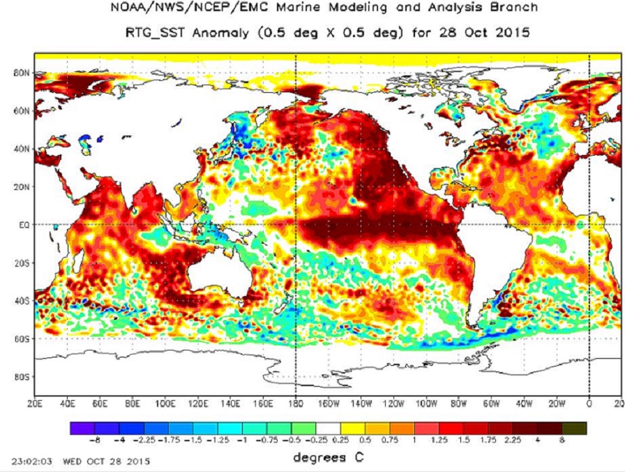
The El Niño warming is along the Equator, the dark shading illustrates the +2.5 anomaly stretching across many miles of warm Equatorial waters. The deep red stretching along the west coast of North America is a little bit of a wild card for the upcoming season. As discussed in El Niño: The WILD side of the weather cycle, the presents of the warm water could build a ridge, much like the last four years. But it could also feed numerous Pacific storms with abundant moisture like we have rarely seen in recent years.
The Pacific jet stream is already showing signs of a seasonal change to stronger and more active. So fasten your seatbelts this is really going to get wild. What we have seen in October, the 1000 year flood in South Carolina, Utah flash floods, California highways buried in mud, the strongest hurricane, this is all just the beginning. El Niño greatest influence is during the Northern Hemisphere winter. And winter is just around the corner. Actually feels like winter today in Michigan and Wisconsin.
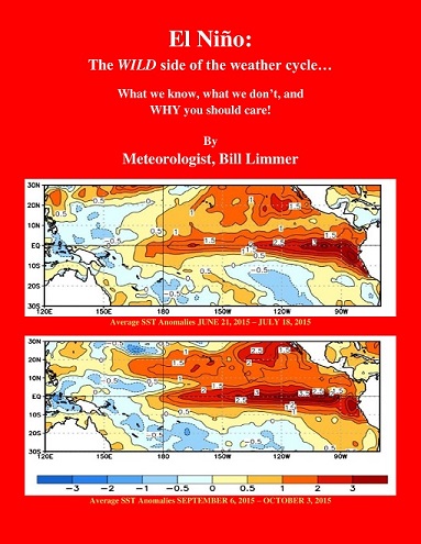
Learn more in my latest e-book El Niño: The WILD side of the weather cycle…
What we know, what we don’t, and WHY you should care!
I show how this years Pacific water temperatures compare to the 1982 and 1997 events and highlight the kind of weather events that the stronger El Niño events tend to bring.
If you like the blog you will love the book.
Wild Bill