January 03, 2016
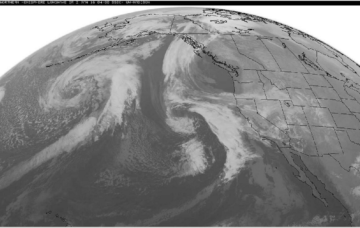
Pictured in this late evening satellite image is the first two of perhaps four separate waves of moisture that will pass through South California between Monday and Friday. The waves, or periods of stormy weather will be Southern California’s first widespread significant rain of this El Niño season.
Another image showing atmospheric moisture content also shows two narrow bands of tropical moisture feeding up from equatorial regions into the approaching storms. Also notice the fat ribbon of moisture from the Gulf of Mexico to Europe. While the U.S. endured record warmth, tornadoes and flooding for the Holidays, The British Isles were swamped by stormy weather as well. All signs El Niño continues to have a major influence on weather Worldwide.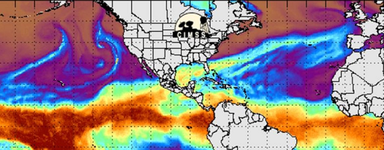
One last image to try and answer the question of why the Mighty Mississippi is in flood in January. The dark red over Central Missouri indicates up to 10 inches of rain over a 300 mile stretch from St. Louis to Joplin. Most of that rain occurring in the last seven days.

In coming days we will look at January’s cold turn in the East where record warmth ruled the Christmas Holiday.
Below, a cloud covers the summit of Mt. Lassen on the 1st day of the year.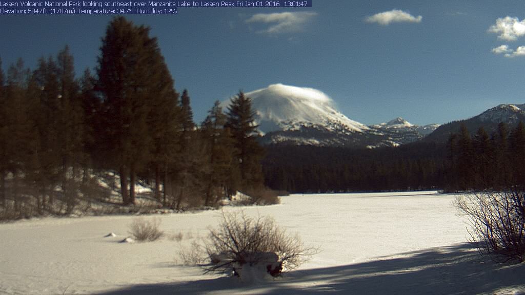
Learn more in my latest e-book El Niño: The WILD side of the weather cycle…
What we know, what we don’t, and WHY you should care!
I show how this years Pacific water temperatures compare to the 1982 and 1997 events and highlight the kind of weather episodes that these stronger El Niño’s tend to bring.
If you like the blog you will love the book.

Wild Bill.